How Difficult Is the Kumano Kodo? Trail Guide & Ratings
Key takeaways
- Difficulty ranges from easy village strolls to strenuous multi-day mountain treks over uneven ancient stone stairs.
- The popular Nakahechi route is moderate, requiring basic hiking fitness, sturdy footwear, and sure footing in wet weather.
- A day trip from Osaka or Kyoto to highlight sections like Daimon-zaka is achievable by limited express train and bus.
The difficulty of the Kumano Kodo (熊野古道) ranges from moderate, accessible day walks to strenuous, multi-day mountain treks with steep vertical elevation changes. Most first-time international visitors hike sections of the popular Nakahechi (中辺路) route, which demands a baseline level of cardiovascular fitness and the ability to navigate steep, uneven stone steps that turn slick in the rain.
The Kumano Kodo is not a single path, but an ancient pilgrimage network spanning the rugged Kii Peninsula (紀伊半島). Because trail surfaces vary from paved country roads to root-choked dirt trails and moss-covered cobblestones, understanding each route's physical demands is essential before you lace up your shoes.
Understanding the Routes: From Gentle Walks to Grueling Treks
To evaluate how hard the Kumano Kodo will be, you must look at the specific trail route you plan to tackle.
1. The Nakahechi Route (Moderate to Strenuous)
The Nakahechi Route is the most popular trail for foreign visitors due to its well-marked signage in English, reliable public transit connections, and luggage forwarding options.
- Overall Grade: Moderate, with isolated strenuous sections.
- Daily Distances: Typically 10 to 15 kilometers (6 to 9 miles) per day.
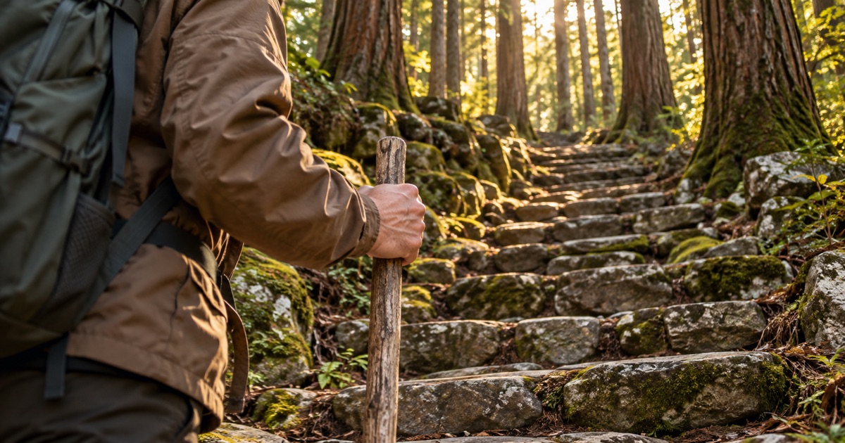
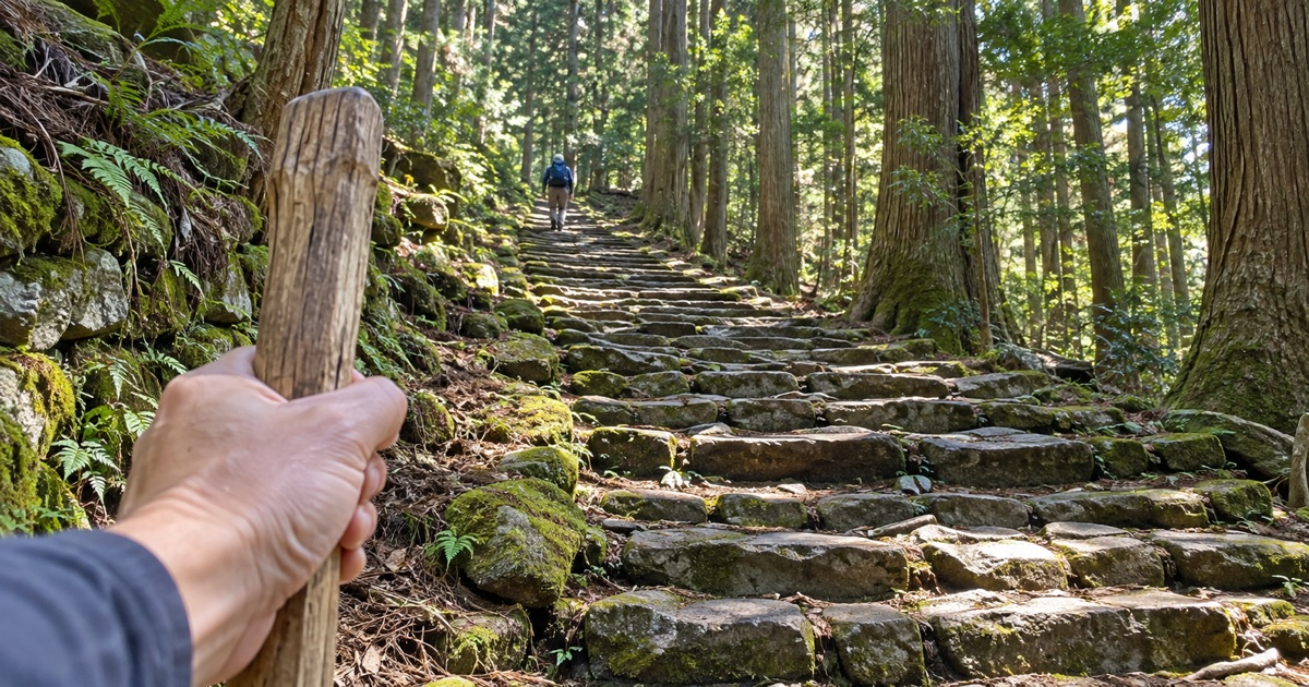
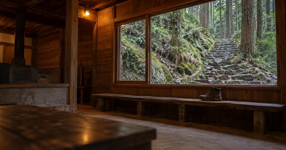
- Terrain: Forest paths, exposed tree roots, dirt trails, and hundreds of ancient stone staircases.
- Toughest Challenge: The back-to-back sections between Koguchi (小口) and Kumano Nachi Taisha (熊野那智大社), known as Kogumotori-goe and Ogumotori-goe. Ogumotori-goe features Dogiri-zaka (胴切坂)—literally translated as "body-breaking slope"—a relentless 800-meter vertical ascent over roughly 5 kilometers.
2. The Kohechi Route (Strenuous to Very Strenuous)
The Kohechi (小辺路) cuts north-to-south directly across the heart of the Kii mountain range, linking Mount Koya (高野山) with Kumano Hongu Taisha (熊野本宮大社).
- Overall Grade: Strenuous.
- Daily Distances: 15 to 20 kilometers (9 to 12 miles) per day.
- Terrain: High mountain passes exceeding 1,000 meters in elevation, steep descents, and narrow ridgelines.
- Toughest Challenge: Hikers must conquer multiple high-altitude mountain passes with minimal bailout points or supply stops. This route is strictly for experienced, self-sufficient mountain trekkers.
3. The Iseji Route (Easy to Moderate)
Running along the eastern coastline of Mie Prefecture, the Iseji (伊勢路) links the sacred shrines of Ise Jingu (伊勢神宮) to the Kumano Grand Shrines.
- Overall Grade: Easy to Moderate.
- Terrain: Coastal flats interspersed with short, steep cobblestone mountain passes like the famous Matsumoto Pass (松本峠).
- Toughest Challenge: Long paved sections on asphalt between mountain passes can fatigue joints and feet.
4. The Ohechi and Omine Okugakemichi
The coastal Ohechi (大辺路) is largely paved and sees few hikers today. At the opposite extreme, the Omine Okugakemichi (大峯奥駈道) is an intensely technical, exposed alpine pilgrimage route intended only for advanced mountaineers equipped for rugged ridge ascents and basic scrambling.
What Makes the Kumano Kodo Difficult?
When hikers struggle on the Kumano Kodo, it is rarely due to high altitude. Instead, three environmental and physical factors define the challenge.
1. Relentless Elevation Gain and Loss
The Kii Peninsula features dramatic, pleated topography. The trails rarely contour around mountains; instead, trails climb straight up over a pass and plunge directly down the other side into an adjacent river valley. Descending wet, steep stone steps places heavy impact on knees and ankles, making trekking poles nearly indispensable.
2. Slipperiness and Rain
Wakayama Prefecture is among the wettest regions in mainland Japan. When rain falls, ancient stone paths like the Edo-period and Kamakura-period cobblestones (ichirizuka) become as slick as ice. Hikers must slow down significantly to maintain secure footing.
3. Limited Transportation Bailout Points
On rural sections between Takijiri-oji (滝尻王子) and Kumano Hongu Taisha, local buses run only a few times per day. If a hiker exhausts their energy midway through a remote mountain pass, calling a taxi may be impossible, and walking out to the nearest road is often the only alternative.

We are working to carry Japanese craft and everyday culture beyond Japan, by building Japan Towns with local partners.
Read the Japan Town plan →Can You Do the Kumano Kodo as a Day Trip?
Yes. While multi-day traverses require booking remote traditional guesthouses months in advance, you can sample the trail's most iconic scenery as a long day trip from Osaka or Kyoto.
The premier day-hike option is the Daimon-zaka to Nachi Falls Walk:
- Base Station: Start at JR Shin-Osaka Station (新大阪駅) or JR Kyoto Station (京都駅).
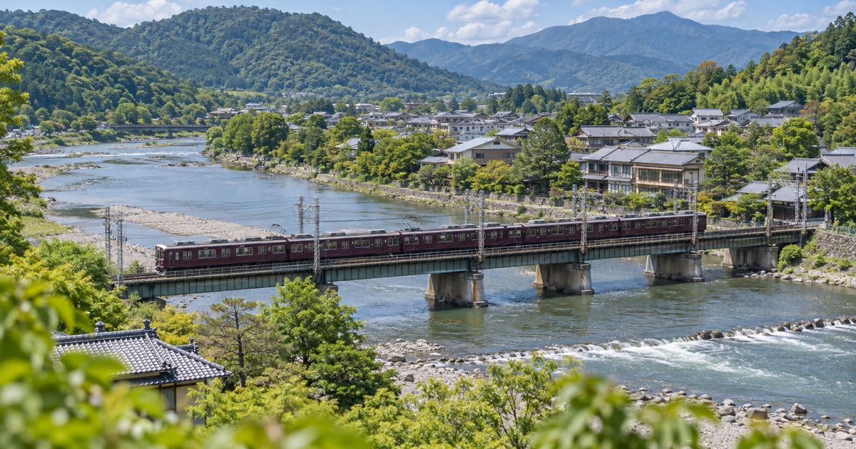
- Train Journey: Board the JR Kuroshio Limited Express (特急くろしお) bound for Kii-Katsuura Station (紀伊勝浦駅). The one-way train ride takes roughly 3.5 to 4 hours from Shin-Osaka. Readers can check current line schedules and ticketing via JR West.
- Local Bus Transfer: From Kii-Katsuura Station, board a local Kumano Gobo Nankai Bus bound for Nachi-san (那智山) and alight at the Daimon-zaka stop (大門坂). The bus ride takes roughly 20 to 25 minutes; fares typically run around 400 to 500 yen each way.
- The Hike: Walk through the towering ancient cedar trees of Daimon-zaka, ascending roughly 260 cobblestone stairs over 1 kilometer (about 30 to 45 minutes of walking). The path brings you directly to Kumano Nachi Taisha and the dramatic overlook of Nachi Falls (那智の滝).
- Difficulty Level: Easy to Moderate. This walk provides the authentic Kumano atmosphere without requiring backcountry navigation.
Essential Packing List for Kumano Kodo Day Hikers
Even on a single-day excursion, mountain weather in Wakayama changes rapidly. Prepare your daypack with the following items:
- Footwear: Sturdy hiking boots or trail runners with aggressive rubber lug soles. Standard city sneakers lack grip on wet moss.
- Trekking Poles: Highly recommended to preserve your knees on steep descents. Ensure the poles have rubber tips, which help prevent trail erosion on historic stones.
- Layered Clothing and Rain Shell: A high-quality waterproof jacket is non-negotiable. Mountain valleys generate sudden squalls even when regional forecasts appear clear.
- Cash (Japanese Yen): Small local buses, trailside honor-system fruit stands, and shrine stamp offices (goshuin) rarely accept credit cards or IC transit cards. Carry ample 100-yen coins and 1,000-yen notes.
- Hydration and Fuel: Carry at least 1.5 to 2 liters of water and calorie-dense snacks. Rural shops along mountain trails close unpredictably or have limited shelf stock.
- Offline Navigation: Download digital topo maps and route tracks before departure, as cellular data coverage drops out deep inside river gorges. For broader route planning and safety guidelines, consult the Japan National Tourism Organization.
Common Mistakes to Avoid
- Underestimating daylight hours: In mountain river valleys, natural light fades fast. In autumn and winter, mountain slopes grow dark by 16:30. Never start a trail section without calculating conservative walking splits.
- Relying on IC cards on rural buses: Transit cards like ICOCA or Suica work across Osaka's transit grid, but many rural buses serving Kumano trailheads require cash payment upon exiting.
- Ignoring luggage logistics: Attempting to hike technical segments with a rolling suitcase or heavy urban luggage is dangerous. Utilize regional luggage-transfer services or store main bags in coin lockers at JR Kii-Tanabe Station (紀伊田辺駅) or JR Kii-Katsuura Station.
With proper footwear, realistic pacing, and respect for shifting weather patterns, hikers of average fitness will find the Kumano Kodo an intensely rewarding, deeply atmospheric pilgrimage.
FAQ
- Q. Can a beginner hike the Kumano Kodo?
- A. Yes, beginners can tackle gentle day-hike sections such as Daimon-zaka to Nachi Falls, though full multi-day traverses require good fitness.
- Q. What is the hardest part of the Kumano Kodo?
- A. The Ogumotori-goe section on the Nakahechi route is widely considered the toughest, featuring steep climbs like the notorious Dogiri-zaka (Body-breaking Slope).
- Q. Do you need hiking boots for the Kumano Kodo?
- A. Sturdy hiking shoes or boots with deep traction are essential, as mossy cobblestones (ichirizuka) become extremely slippery when wet.
Cite or share this article
Copy the link below. If you quote this article, please link to this page as the source.